![]()
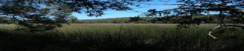
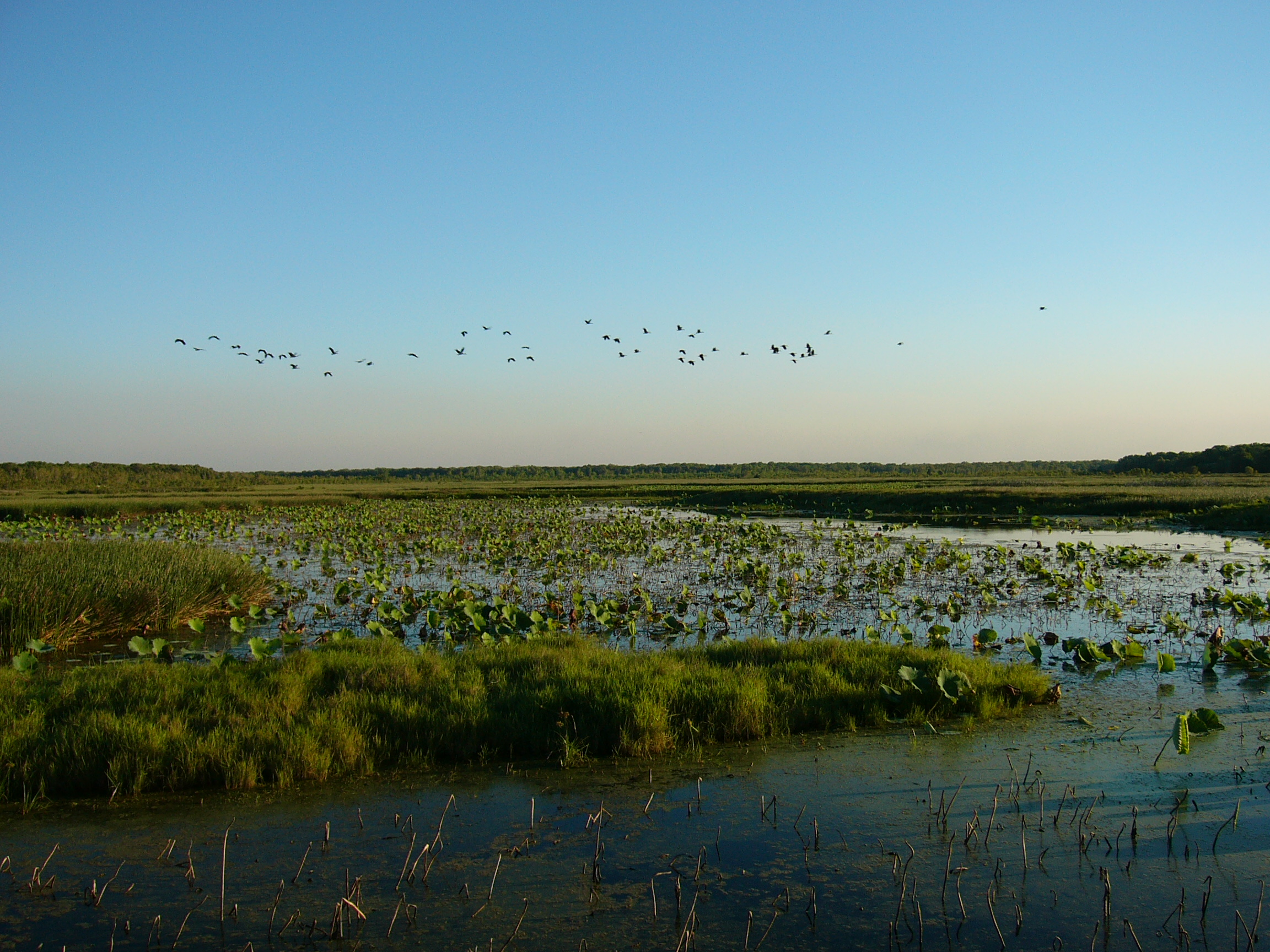
Vegetation Mapping & Management
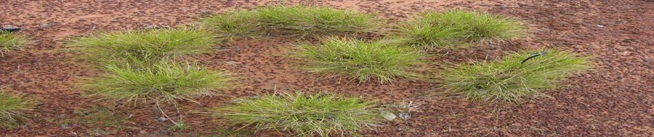
Vegetation mapping is not an exact science but has long suffered from the (lack of) application of uniform state and national standards. Depending on the size of the project but in order to achieve the most reliable result, we typically employ a combination of high resolution analysis of aerial photography and/or satellite imagery for polygon delineation and partitioning, coupled with intensive ground-truthing, quantitative sampling techniques and associated ordination analysis to identify vegetation communities.
Biolink staff are expert in identifying Plant Community Types (PCT) and Threatened / Endangered Ecological Communities (TEC / EEC). We have mapped areas ranging in size from 40 to 400,000 hectares, further details of which can be accessed through our current and past projects pages, or by directly contacting our office.